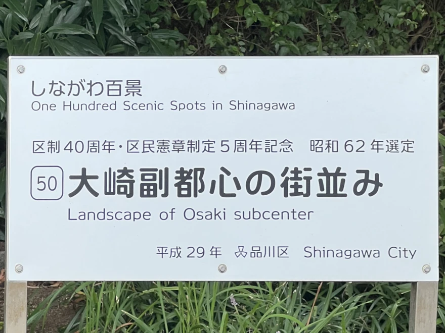
🏙️ Ōsaki Subcenter – A Landscape Shaped by Planning
Ōsaki Subcenter is the product of long-term urban planning rather than sudden redevelopment. What appears today as a dense cluster of office towers, walkways, and station-linked complexes emerged gradually through coordinated land readjustment, infrastructure investment, and administrative designation. Its present form reflects policy decisions made over several decades, not a single moment of transformation.
Before redevelopment, the area around Ōsaki Station contained a mixture of factories, railway facilities, warehouses, and low-rise housing. As manufacturing activity declined in inner Tokyo during the late twentieth century, larger plots became available. This created the conditions for comprehensive redevelopment rather than piecemeal replacement.
📜 Ōsaki – From industrial edge to designated subcenter
Ōsaki was designated as a fukutoshin (subcenter) as part of Tokyo’s wider strategy to redistribute urban functions away from the historic city core. Planning documents show that the area was selected for its rail connectivity, development capacity, and potential for coordinated large-scale projects.
Rather than a single redevelopment scheme, Ōsaki’s transformation proceeded in stages. Large complexes such as Gate City Ōsaki and Osaki New City were completed over time, followed by further projects on the west side of the station. Each phase aligned with updated planning frameworks rather than replacing them.
🧭 East and west: phased growth around Ōsaki station
The east side of Ōsaki Station was redeveloped first, forming an early concentration of offices and commercial facilities directly connected to the station. Redevelopment on the west side followed later, with larger plots allowing for integrated projects combining offices, residences, hotels, and public space.
Instead of creating a single central plaza, the area was organised through a network of pedestrian routes. Elevated walkways, station concourses, and ground-level paths link buildings into a continuous circulation system, blurring the boundary between transport infrastructure and urban space.
🚆 Ōsaki Station as organising infrastructure
Ōsaki Station functions as the structural core of the subcenter. Served by the Yamanote, Saikyō, Shōnan–Shinjuku, and Rinkai lines, it supports both radial and orbital movement across Tokyo. Planning materials consistently treat the station not simply as a transit point but as an anchor for surrounding development.
Commercial space, offices, and pedestrian routes are arranged to feed directly into station flows. This reinforces Ōsaki’s role as a working node rather than a destination district, prioritising daily use over spectacle.
🌱 Managed openness: green space and water
Despite its density, redevelopment plans incorporated open space, planting, and access to water. Small parks, landscaped terraces, and riverside paths along the Meguro River were included as part of development conditions rather than added later.
These spaces are functional rather than scenic. They provide light, movement, and relief within a tightly organised district, supporting everyday use by workers and residents rather than leisure tourism.
📚 What “subcenter” means in practice
In planning terms, a subcenter is defined by function rather than appearance. It is a concentration of offices, services, and employment intended to reduce pressure on the traditional city core by redistributing activity around major transport hubs.
Ōsaki fits this definition closely. It does not compete symbolically with districts such as Shinjuku or Shibuya. Instead, it operates as a controlled, legible environment shaped by zoning, infrastructure capacity, and long-term administrative oversight.
🧭 Visitor Information
Location: Around Ōsaki Station (east and west sides), Shinagawa City, Tokyo
Best season: Year-round; spring for cherry blossoms along the Meguro River
Admission: Free to walk through the area
Facilities: Extensive public facilities including toilets, benches, cafés, convenience stores, and covered walkways within station buildings and major complexes
Notes: This is a working office district rather than a leisure area. Please be considerate of commuters, office workers, and building access rules.
📍 Where is it?
| what3words | ////cowboys.squad.ranking |
| latitude longitude | 35.6177 139.72932 |
| Nearest station(s) | Osaki Station (JR Yamanote, Saikyo, Shonan–Shinjuku and Rinkai lines) |
| Nearest public conveniences | Available in the station and nearby buildings: Gate City Osaki, Osaki New City, Thinkpark. Also an outdoor one by the sign. |
🪧 Show me a sign
On the west side under the Sony building in the garden area near the bus stops.
🖋️ Withervee says…
This is not a “pretty” place in the traditional sense, and it does not try to be. Ōsaki Subcenter feels engineered rather than evolved. Everything works. Almost nothing surprises.
If you like clean lines, legible planning, and cities that show their intentions openly, this is an interesting walk. If you come looking for mess, memory, or accidental charm, you may find it oddly blank.
That said, it is extremely comfortable. Places to sit. Food at every price point. Shade in summer. Shelter in rain. As a piece of urban infrastructure, it does exactly what it was built to do.
🏢 Ōsaki New City and the first wave of redevelopment
Before Gate City and Thinkpark reshaped Ōsaki’s skyline, Ōsaki New City marked one of the area’s earliest large-scale redevelopment efforts. Completed in stages from the late 1980s, it occupies former industrial land on the east side of Ōsaki Station and combines offices, retail space, and a hotel in a single, station-adjacent complex.
Developed by TOC-related interests, Ōsaki New City reflects a transitional moment in Tokyo’s urban planning. It is dense but inward-looking, functional rather than expressive. Pedestrian decks, internal plazas, and direct station connections anticipate later subcenter design, even if the architecture itself now feels restrained compared with the glass towers that followed.
The presence of the New Otani Inn Tokyo within the complex links Ōsaki New City to postwar business networks and hospitality culture, while also underlining how early redevelopment here prioritised access and efficiency over spectacle. In retrospect, Ōsaki New City seems like groundwork; a necessary first layer in the gradual remaking of Ōsaki into a metropolitan subcenter.
The Ōsaki Building Badged “Sony”
Unlike the shiny rectangular monoliths nearby, the matte tower on Ōsaki’s west side, now called NBF Ōsaki Building, was originally built as Sony City Ōsaki and was designed with the aim of achieving environmental performance and harmonizing with the urban landscape.
🌬️ Cooling the city, not just the building
The building is wrapped on its eastern face with a system of porous terracotta louvers known as the “bioskin.” Rainwater collected on the roof is circulated through the porous ceramic pipes using electricity generated by solar panels. The resulting evaporative heat cools the surrounding air, reducing the heat island effect. In practical terms, it works like a modern, architectural version of a sudare bamboo sun screen.
🌳 Sony Wood (Sony no Mori)
This environmental approach extends beyond the façade. The tower was positioned to avoid blocking prevailing winds from Tokyo Bay, uses a base-isolated structure to reduce earthquake movement, and concentrates its mass into a single footprint so that large areas of ground-level greenery could be preserved. The surrounding woodland, often called “Sony no Mori,” matured rapidly and now functions as both a cooling device and a public pedestrian route.
The result is a rare example of a high-rise office building in Tokyo that tries to cool its neighbourhood rather than simply extract value from it. You don’t need to know any of this to walk past it. But once you do, the building reads very differently.
It even got a BCS (Building Contractors Society of Japan) award
The Gnome with the Sprouting Hat
Growing Gardener (2006) by the German artist collective inges idee stands out even in Ōsaki’s carefully designed landscape. The small figure is absorbed in tending plants, while his hat stretches impossibly upward, as if it has continued growing without him noticing. There is no fixed explanation, and none is required – it’s art.
The humour lies in the mismatch between concentration and consequence. Set against glass towers and passing trains, the work gently mocks the idea of controlled growth, suggesting that even the most managed environments can still behave in unexpected ways.
🌳 Site Character
- Lifestyle 生活 (Seikatsu): ✔️
- Historical Significance 歴史 (Rekishi): ❌
- Atmosphere/Natural Features 風土 (Fūdo): ✔️
👥 Who in their right mind would vote for this?
- Urban planners
- Railway nerds
- Architecture fans
- Business travellers
- Skateboarders
📚 Further reading
List of Urgent Urban Renewal Development Areas (Japanese)
Tokyo Metropolitan Government – Urban Renaissance / Subcenter policy
This is the cleanest official explanation of why Ōsaki was designated and how subcenters function within Tokyo’s planning framework. (Japanese)
Gate City Ōsaki (official site)
Ohsaki New City (official site)
🚶 While you’re there…
Have a walk along the Meguro river or explore nearby shrines Irugi Shrine and Shimizu Inari Shrine. Walk around and see if you can find the gnome, and the owls, and the usual bronze naked lady statue.